Maximizing Efficiency and Collaboration in Surveying with BIM Technology
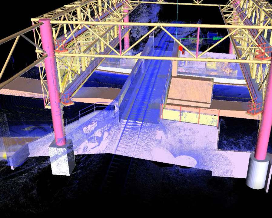
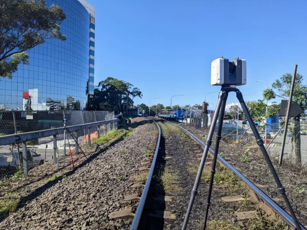
Building Information Modeling (BIM) is an innovative technology that has revolutionized the construction industry. Surveyors are one of the primary beneficiaries of this technology, as it allows them to create highly accurate and detailed 3D models of a building’s physical characteristics. By integrating surveying data into a BIM model, surveyors can easily identify potential design or construction issues, perform clash detection, and create as-built drawings quickly and accurately. These benefits ultimately lead to more efficient and effective building construction, saving time and reducing errors.