Aerial Mapping

Geotwin use state of the art UAV technology to capture high-resolution and high-accuracy datasets. We offer both photogrammetry and Lidar options

Laser Scanning

Geotwin are able to capture rich and accurate datasets using our terrestrial laser scanners. The use of this technology allows us to accurately record up to 2 million points per second to create coloured 3D point clouds in an efficient time.

Building Information Modelling "BIM"

Geotwin assist our clients with BIM services offering support to achieve their required Level of Development (LOD).

LOD is an industry standard that defines how the 3D geometry of the building model can achieve different levels of refinement

How can Geotwin assist your project?

Geotwin supply accurate digital engineering information to civil and residential projects across NSW.

Our services include

  • UAV Photogrammetry and Lidar Solutions
  • Inspection Solutions
  • BIM and data management
  • Survey and Terrestrial Scanning
  • Monitoring Solutions
  • Bathymetric Surveys

Project Showcase

Geotwin completed a detail survey at a shopping centre refurbishment in Northern New South Wales. The client required an accurate geo-referenced point cloud & BIM elements to assist the design team. First step was to establish survey control on site for QA checks on the dataset to ensure its accuracy and achieve the require spatial tolerances.

Whist onsite the Geotwin team captured the external facade, structural walls and columns and all piping and their penetrations into adjoining slabs. Back in the office we were able to get a spatially accurate BIM model back to the client in an extremely short turnaround time.

At Geotwin we pride ourselves on being experienced in the field and office and being accessible to be able to offer a quick turnaround time for our clients.

Latest Posts

Maximizing Efficiency and Collaboration in Surveying with BIM Technology

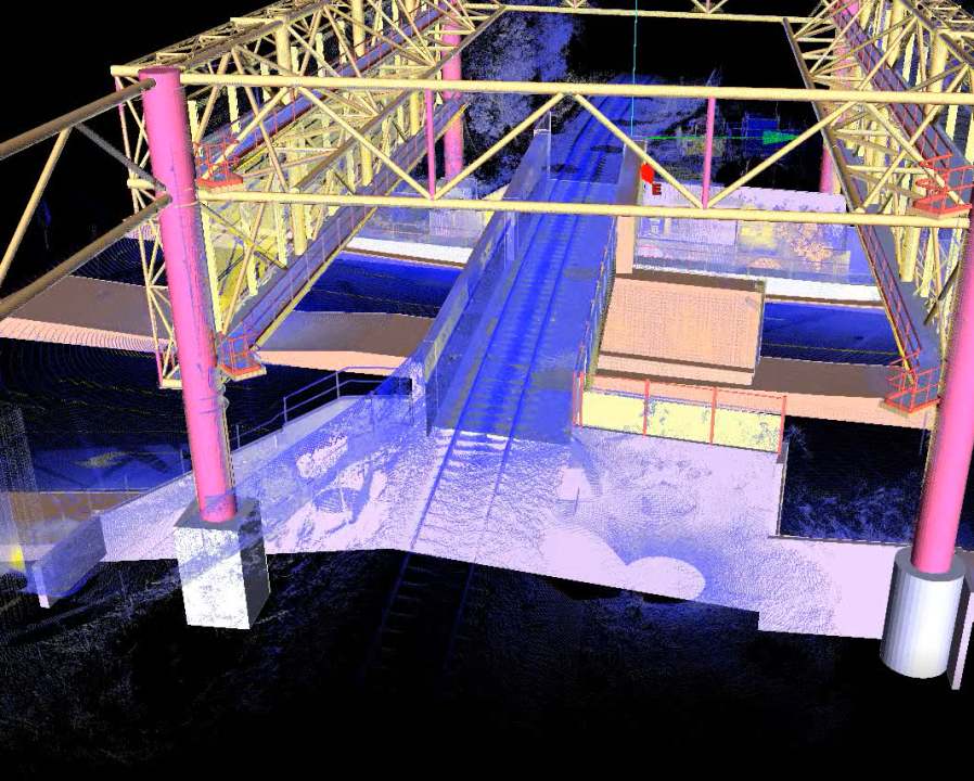
Building Information Modeling (BIM) is an innovative technology that has revolutionized the construction industry. Surveyors are one of the primary beneficiaries of this technology, as it allows them to create highly accurate and detailed 3D models of a building’s physical characteristics. By integrating surveying data into a BIM model, surveyors can easily identify potential design or construction issues, perform clash detection, and create as-built drawings quickly and accurately. These benefits ultimately lead to more efficient and effective building construction, saving time and reducing errors.

Read More »

The importance of Surveyors managing spatial datasets

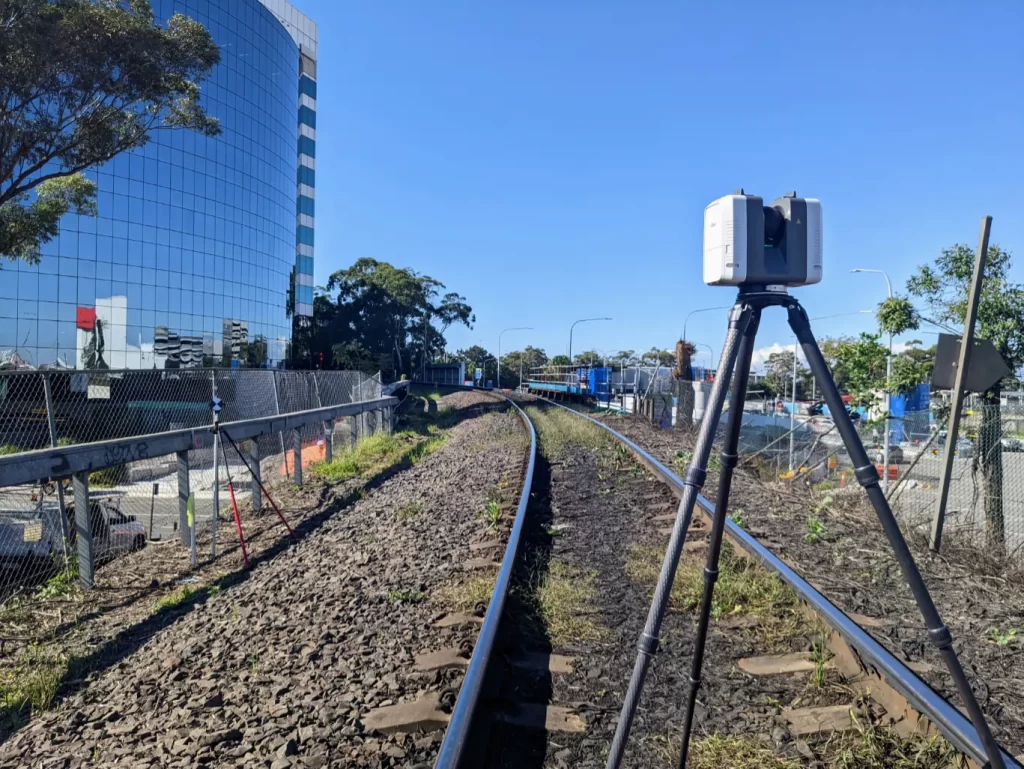
In past years, UAV and Laser Scanning has become an increasingly popular method for capturing detailed data for a variety of industries. However, to ensure that the data collected is accurate and useful, it is crucial that the spatial datasets that are derived from these techniques have qualified Surveyors involved to oversee the process.

Read More »

ENGAGE GEOTWIN

We’d love to assist you! Contact us using the below form for a free quote on your next BIM/Scanning project today.